
Start typing to search
You can also hit “Enter” on your keyboard to submit your query.
0What's on
0Everything Else

#VISITBALLARAT
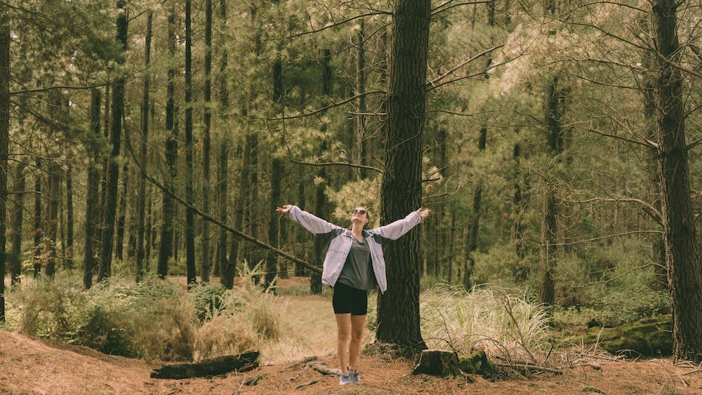
Walking trails
Walking trails
Where will this walking trail lead you? To a river, a reserve or maybe a regional park?
Lake Wendouree
Start and finish: Anywhere along the 6km Steve Moneghetti track that runs around the perimeter of Lake Wendouree.
Distance: 6km.
Terrain: Flat gravel walking path.
Estimated duration: 1 hour.
Description of route: This walk can be done in parts and can start and finish most places along the track. Along your walk, admire wetland birds, grand homes, historic monuments, boathouses, and the Ballarat Botanical Gardens. Drinking fountains, playgrounds and seating are dotted around the lake.
More details: Click here
Ballarat-Skipton Rail Trail
Start: The trail is signposted from Wendouree Station. You can also start next to the rail crossing on Ring Rd.
Distance: 53km (Ballarat to Smythesdale 20km)
Terrain: Fine gravel, hilly.
Description of route: The 53km Ballarat–Skipton Rail Trail runs along the former railway to Skipton, from western Ballarat, Haddon, Smythesdale and Pittong to Skipton.
Upgraded in 2008, this trail goes through native grasslands, historical gold mining sites and over an impressive trestle bridge near Newtown is open for trail users.
History boards with trail information are sited at various points along the trail.
More details: Click here
Yarrowee River Trail
Start and finish: Corner of Bridge St (Mt Clear/Sebastopol Rd) and Albert St, Sebastopol.
Distance: 4.8km.
Terrain: Relatively even gravel paths, steep up and down hill paved footpath, flat paved footpath, two major road crossings.
Estimated duration: 50–60 minutes.
Description of route: Starting the corner of Bridge and Albert Sts, walk along the right-hand side of Bridge St on the footpath down a hill to the entrance of the Yarrowee Trail (alongside a large dam/reservoir). Follow the trail to the end (1.8km). Turn right and walk up the hill on Docwra St. At Albert St, cross the road and walk on the footpath with the traffic, north along Albert St along for 1.7km, returning to Bridge St. Seating is available regularly along Yarrowee Trail and Albert St (bus stops).
Woowookarung Regional Park
Ballarat’s new 641-hectare regional park adjoins the suburbs of Ballarat East, Canadian and Mount Clear. It can be accessed from many roads including York St in Ballarat East and Recreation Road in Mount Clear. Bushwalking, trail running, cycling, dog walking and horse riding currently occur on an informal network of former state forest and plantation tracks.
More details: Click here
Buninyong
The Walks around Buninyong website provides full descriptions of a wide range of interesting walks for all levels of fitness. Each walk is supported by a clear and detailed customised map, points of interest, an indication of distance, the time required, difficulty levels, and co-ordinates for the start and finish points.
More details: Click here
Creswick Regional Park
Centrally located between Ballarat and Daylesford, Creswick Regional Park is home to a variety of native wildlife and colourful spring wildflowers. Explore the ancient hills, discover relics from the gold mining era, or enjoy the peaceful surroundings of tranquil St Georges Lake.
More details: Click here
You Might Like

Across Victoria’s Midwest, we acknowledge that we travel across the ancient landscapes of many First Peoples communities.
These lands have been nurtured and cared for over tens of thousands of years and we respect the work of Traditional Custodians for their ongoing care and protection.
We recognise the past injustices against Aboriginal and Torres Strait Islander peoples in this country. As our knowledge grows, we hope that we can learn from their resilience and creativity that has guided them for over 60,000 years.
As we invite people to visit and explore Victoria’s Midwest, we ask that alongside us, you also grow to respect the stories, living culture and connection to Country of the Ancestors and Elders of our First Peoples.